The Lost Coast Trail
The Lost Coast exists because the coastal terrain was too steep for the Pacific Coast Highway. The King Range drops close to 4,000 feet to the sea within a few miles, which kept road builders out and left this stretch — the longest roadless coastline in the contiguous US — intact.
Most of the walking is on beach. Some sections move quickly on packed sand; others are slow going on loose boulders regardless of pace. The headland bypasses add elevation but provide the best views. Tide timing is not optional — certain sections can only be passed within a window around low tide, and the guidebooks are explicit about which ones.
The shuttle logistics are straightforward but require planning ahead. Several local outfitters near Shelter Cove offer car shuttles.
Film
Route
Day by Day
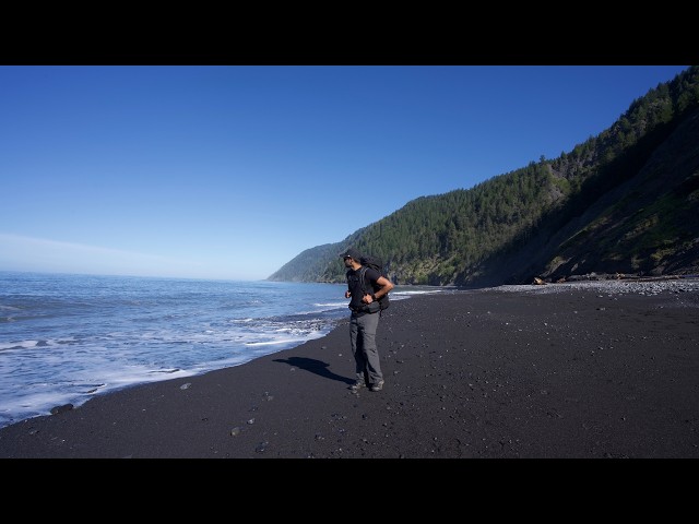
Started at the Mattole Beach trailhead and headed south along the coast. The King Range rises immediately to the east, steep enough that no road has ever been built through here. Passed the Punta Gorda Lighthouse around mile 3 — a decommissioned structure from 1912, mostly intact. The remaining miles to Cooskie Creek alternate between packed sand and looser cobble. Set up camp near the creek.
The longest day and the most remote section of the trail. Mixed terrain throughout — long beach stretches, a few inland bypasses over the headlands, and a half-dozen creek crossings. Big Flat is the largest camping area on the trail, reached around midday. The sections past Buck Creek and Shipman Creek see noticeably less foot traffic. Camped at Gitchell Creek.
Short final push into Shelter Cove. The trail climbs briefly inland before dropping to Black Sands Beach at the edge of town. Shuttle back to Mattole from the beach.
Photos
Photos coming soon.