Yellowstone National Park
The Sky Rim is in the northwest corner of Yellowstone, away from the main geyser basins and most of the park's visitors. The terrain is high alpine — open ridgeline with views into Montana to the north and across the Yellowstone plateau to the south.
This is grizzly country. The northwest corner of the park has one of the higher bear densities in the Greater Yellowstone Ecosystem. Bear spray was out the whole time and used the standard protocols for camping.
The elevation range is significant: the trail climbs from around 6,700 feet at the trailhead to nearly 10,000 feet on the ridge. The ridge itself is exposed, with no tree cover, and afternoon thunderstorms are common in July.
Film
Route
Day by Day
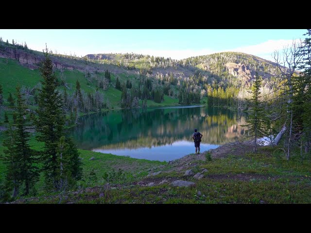
Started at Daly Creek and climbed steadily toward the Sky Rim. The ridge opens up above treeline with views north into Montana and south across Yellowstone's interior plateau. Wind picked up significantly on the ridge. Camped below the crest.
Followed the Sky Rim along the Gallatin Range ridge before dropping back toward the valley. Bison in the lower meadows on the descent. The trail back to Daly Creek loses elevation gradually through open terrain.
Photos
Photos coming soon.